


It's hard to remember every detail about the photo you've taken so we propose another way to organize your photo streams.

Extracting GPS traces from photo streams, and analyze them day-by-day to reveal movement patterns.

Visualizing speeds of event, movement types and directions from a day's event on a map. Help us to have an overview of the movements in the day, and to look out for interesting movements location.
Showcase examples for various trip with descriptions.
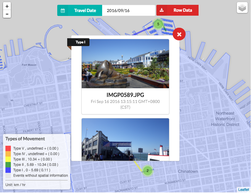
2016/09/16
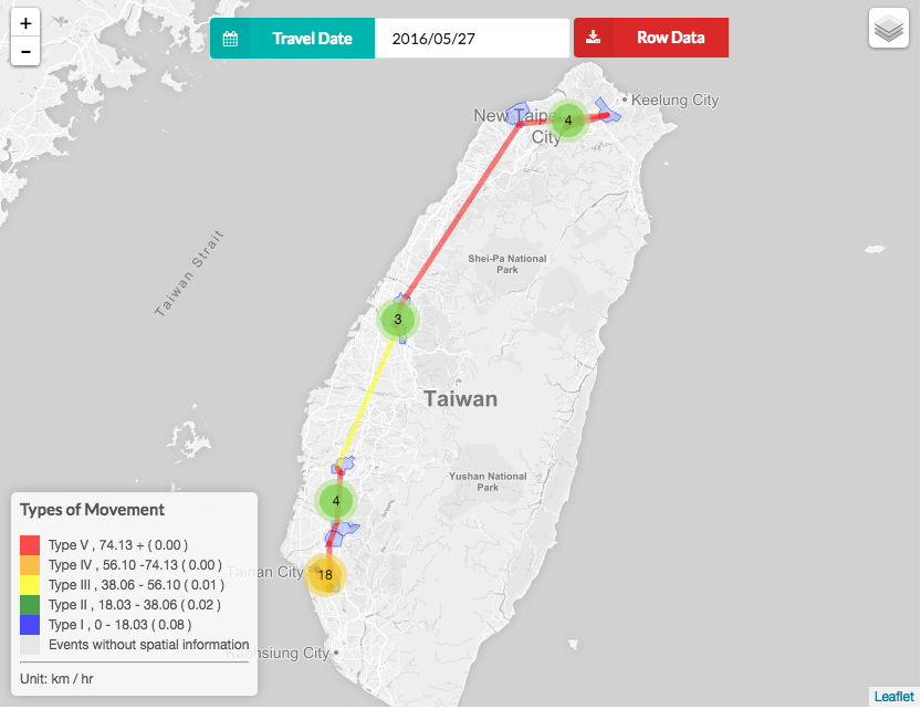
2016/05/27
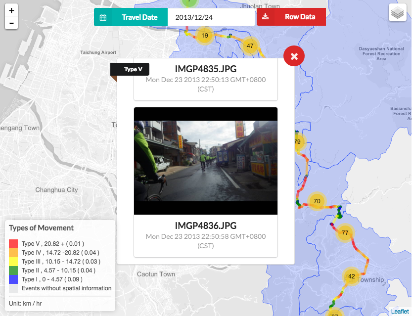
2013/12/24
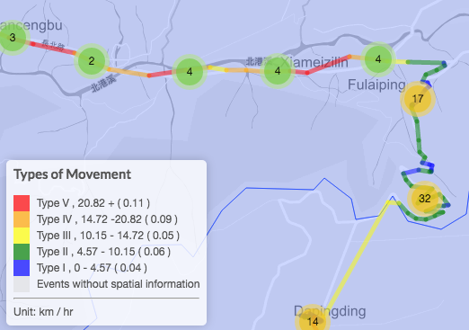
The color code for movement type is summarized at the lower left corner of the map.
Suppose we are searching for a type II movement where we were going at the speed of 4 to 10 km/hr. The green segment at the right of the map can be what we are looking for.
Each event displayed on the map with place marker.
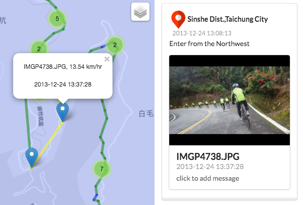
You can click on one of the markers on the segment. The photo named IMGP4738.JPG is retrived and displayed on the right panel, so it can help you to refresh your memory and organize your photos.
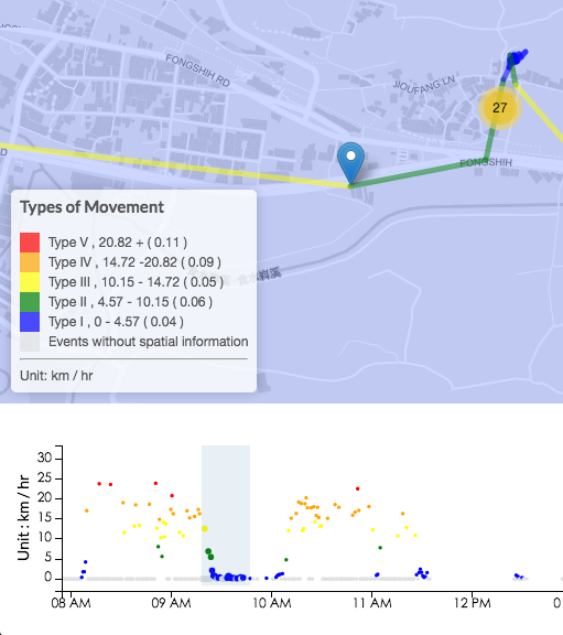
Events are displayed along the timeline at the bottom of the window.
The speeds are color-coded by their types. Above the timeline is a map, showing the locale of the events within the selected interval of the timeline in real time.